Roslin Village to Edinburgh
Part of St Wilfrid’s Way
Outline Description
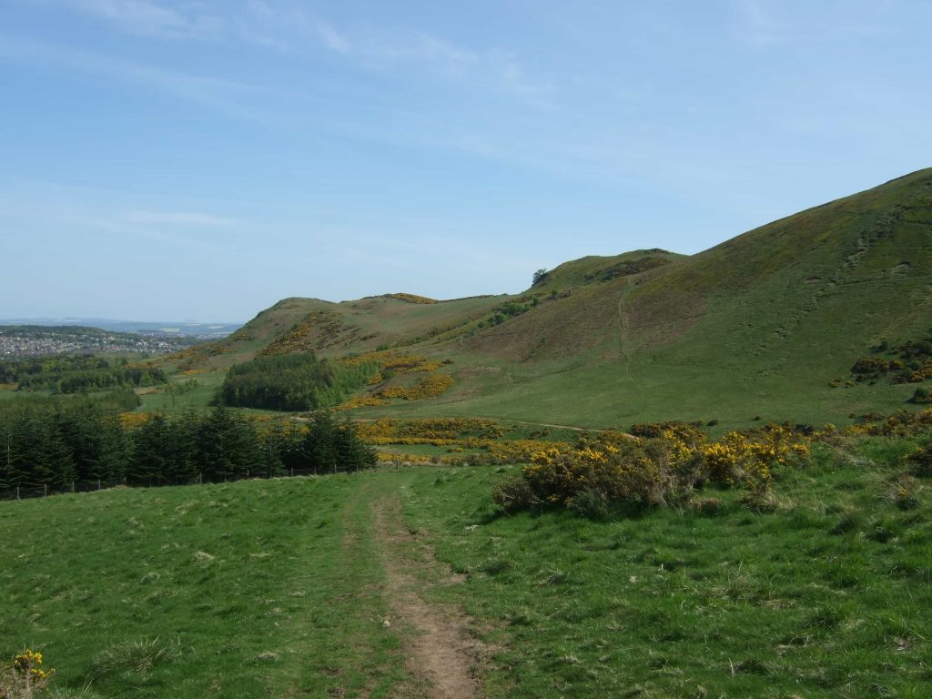
Quiet roads from Rosslyn Chapel and Castle leading to tracks over the Pentland Hills with magnificent views over Edinburgh and across the firth to Fife. Then onto the riverside meandering track of the Waters of Leith into the centre of Edinburgh…… to the top of Leith Walk for the beginning of St Margaret’s Way, the 100 kilometre pilgrimage route to St Andrews. Pubs and shops along way. About 26 km.
Detailed Route Description
Rosslyn to Edinburgh
Keep an eye out for the small bright yellow blobs of paint on the ground or on posts which help mark the route.
Roslin Cross to Castlelaw (About 7 km)
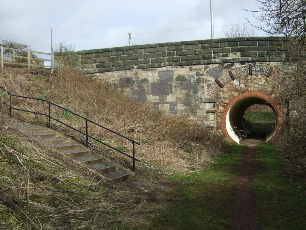
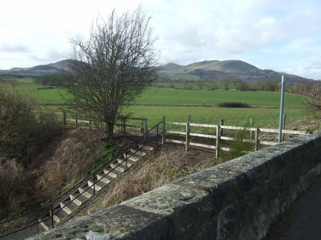
From Roslin Cross proceed up the High Street 500 m to an old bridge, turn left and descend to old railway track.
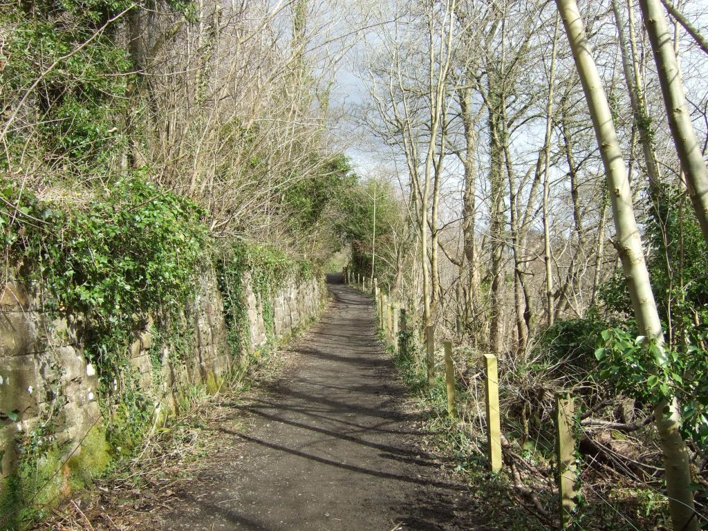
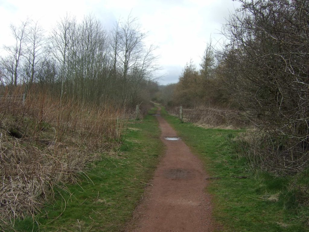
Turn right on track and proceed west along wooded track 800 m to arrive at junction with information board “Rosslyn moat “. Veer left between wooden gateposts and proceed 400 m to T junction. Turn left onto tarmac track for 100 m and go through metal gates onto main road by bus stop and information board.
At bus stop turn right along disused road for 50 m, where it merges onto a track. Continue along track for 100 m where it joins the A701. On the right there is a bus stop where you can cross to the other side.
Once you have crossed the road turn left and go 150 m past a restaurant and then turn right onto the road signposted Pentlands Science Park, etc. Proceed 500 m to arrive at roundabout with sign, Pentlands Science Park, on left. Keep straight on for another 50 m. Immediately after black iron gate with thistle there is a gap in the hedge.
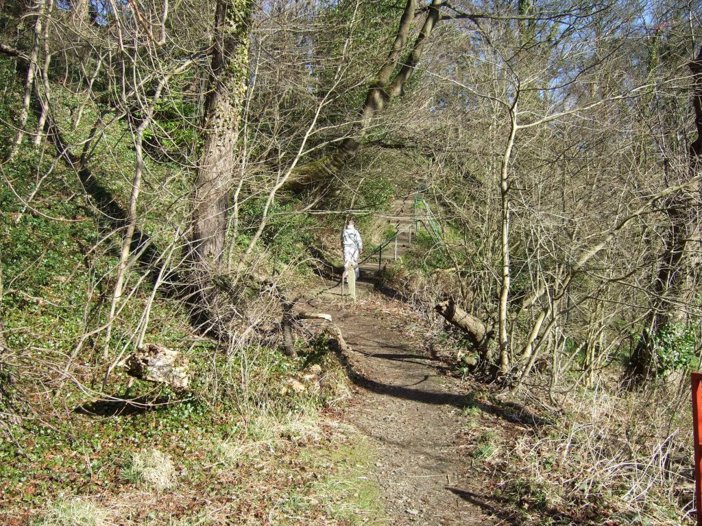
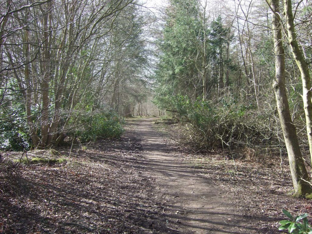
Pass through gap in hedge onto narrow woody (and muddy) track for 30 m until it join gravel track and turn left through woodland for 100 m to junction with tarmac road .
Cross over junction and continue along waymarked path through woodland for 600 m to arrive on tarmac road, with entrance to EPP buildings on left and closed gateway on right. Proceed 200 m along road to black iron gate on left.
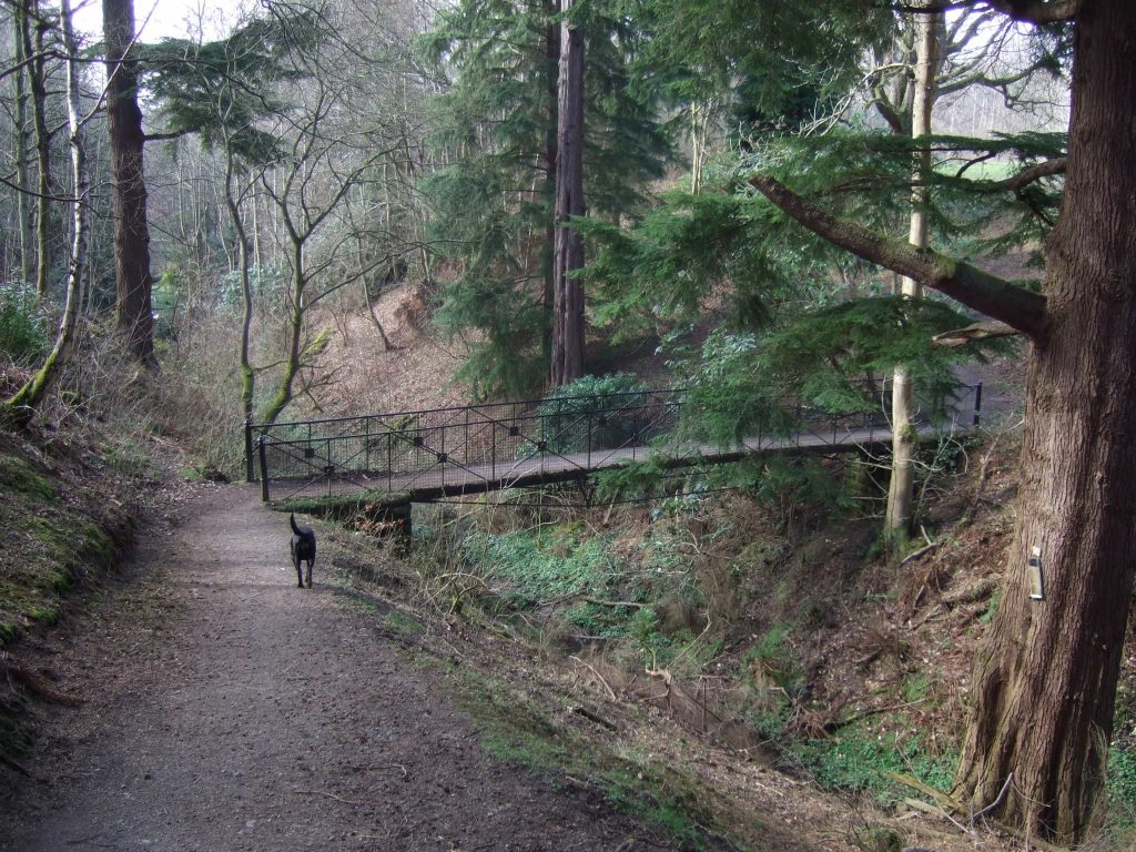
Go through gate and along narrow track (Some yellow blobs) down the hill with stream on right for 100 m, then cross bridge and continue down another 100 m to junction.
Go straight over junction for 600 m with ground sloping on left to arrive at open fields and junction. Turn left downhill past houses 100 m to narrow road.
Turn right onto windy road and proceed 500m west uphill to T junction with busy road (A702) cross over and go right 20 m and turn left uphill (signposted Castlelaw Hill Fort) for 1 km to Car Park with Information Board (Pentlands Regional Park) and sign to Castlelaw Fort.
Castlelaw, through Pentland Hills to Slateford Road (Waters of Leith Visitor Centre) 9km
From Castlelaw Car Park turn left downhill (south) to T junction (60m). Then turn right along tarmac road by rough stone wall to pink walled house and then turn left (100m). Follow road with wood on left until you come to wooden gateway (300m) marked “Pentland path” with purple arrow, with buildings on right. Great view of Turnhouse Hill.
Continue along track- signposted Glencorse Reservoir- over cattle grid, past wood and through gateway- marked PP with purple arrow- until you arrive by another wood (400m).
Turn left through wooden gate downhill- purple arrow- down narrow bumpy track to bottom, through gate with information board onto road running alongside reservoir (250m).
Turn right along road – with reservoir on left- until you arrive at gateway on right (400m) with purple arrow and Information Board. “Welcome the Moor”.
Turn right uphill along red stone track with wood on left to fork (300m). Take right fork – signposted Colington and Bonaly -which leads you over a rough moorland track for 2 km (with Castlelaw Hill on your right and Harbour Hill with 3 prominent trees on your left), passing a rusty old sign until you eventually arrive at the wood surrounding Bonaly Reservoir (2 km). Keep alongside wood until you arrive at a metal gate on left (200m).
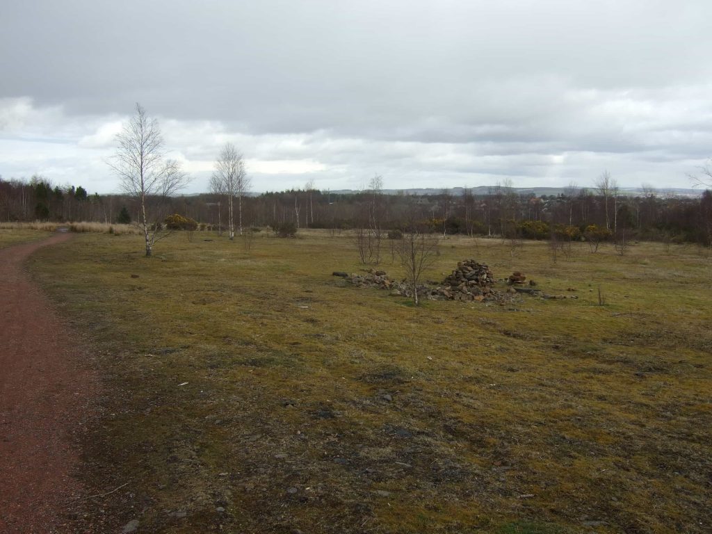
Go left through gate through wood downhill until you arrive in open country (200m). Continue along track , passing a track coming in from the left after 100m, over a rise when you will see Edinburgh spread out before you and, on a good day , all the way over to Fife, then through another gate and continue downhill with the steep valley of Dean Burn on right until you arrive at wood with gateway (600m). Continue- signposted Bonaly – downhill through the wood until you arrive to the entrance to the Pentland Hills Regional Park with information board (400m) and car park.
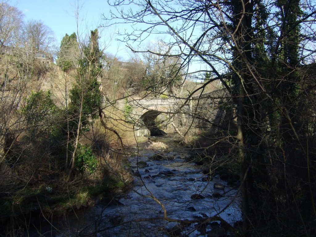
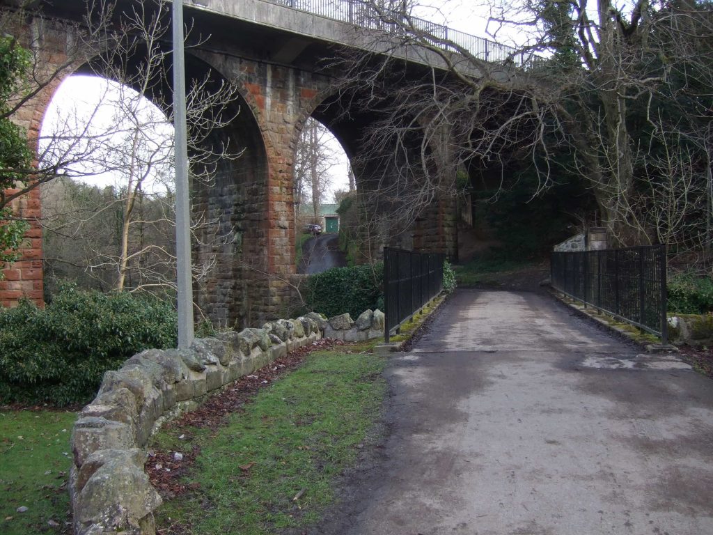
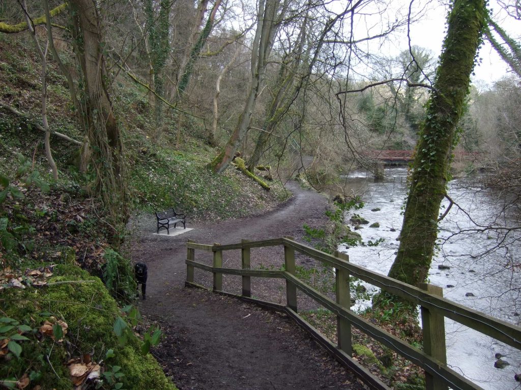
Continue down Bonaly road, past Scout Camp, over the motorway, to eventually join T road junction with Woodhall Road (600m). Cross over and go left 20 m, then turn right down hill –sign posted West Mill- until you arrive at house and junction. (200m). Follow sign, West Mill, downhill to junction with Waters of Leith and signs. You are now on Bike route 75 and following the Waters of Leith. . Turn right along path crossing bridge, along through woodland track, passing Spylaw Park on right, underneath an arched road bridge (200) m, then another 100m and enter tunnel for 200m. Proceed along path, past weir after 200m, past footbridge after another 500m, then after another 500m arrive at stone bridge with green railings (Bogsmill Road). Cross bridge arriving in park areas with benches, and turn left along track with occasional steps along river. After 400 m arrive Stone hut by small bridge. Proceed along river another 500 m to arrive at busy Slateford Road (Pub and Waters of Leith Information Centre)
Slateford Road to Top of Leith Walk (10 km)
From Slateford/Lanark Road cross over the road, pass The Waters of Leith Visitor Centre on your right with the river on the left, under a rail bridge, up a wooden gangway, past a cemetery on the right, garden allotments behind a green fence, under a pylon and then out into the open until some black and red bollards leading to busy Gorgie Road (1 km).
Cross over and continue opposite along narrow tarmac track- signposted Roseburn and Leith and John Muir Trail-with waters on right, past green meadow on your left. (400m) Keep following the Waters of Leith sign past on right stone gateways marked Saughton Park Gardens (300m) with playgrounds on the left, including children’s playground. Arrive at busy Balgreen Road (100m). Cross over and pick up the path on the other side- marked Waters of Leith Walkway – and take a narrow, winding gravelly path with the waters on your right, crossing underneath the railway line (400m) and then shortly after arriving at the Pansy Walk blue bridge. Cross bridge- sign posted W OF L- and turn left along track, with waters on left and Murrayfield Stadium on right, past another two bridges, along road saying Cyclists Slow until you arrive at houses and circular stone flower bed.(700m) Go along road to arrive at public road, Roseburn Place(300m). Continue left along road to junction with Roseburn Place (100m) then turn left uphill to join busy Roseburn Road (100m). Cross road and go right to bus stop (50 m), then left where you will pick up the sign for Waters of Leith. Go between red sandstone pillars surmounted with obelisks to path entrance (50m) signposted W of L. Descend stairs and continue alongside. the waters on your left, underneath a massive archway, past a small wooden bridge (400m) (leading up to the National Museum of Modern Art), passing a dam ( Gormley statues are sometimes visible) until you arrive where the road peters out at some stone steps and metal bridge with wire sides (600m)
Cross and continue along path underneath high arched road bridge (100m) until you arrive at a blue bridge (500m). Cross bridge and proceed up steep cobbled Hawthornbank Lane/ Miller Row to junction with Dean Path (100). Take road opposite – signposted St Bernard’s Well, underneath another arched bridge (200m), past a statue in a colonnaded temple until you emerge onto Saunders Street(400m) and then on to main crossroads of Stockbridge village(200m).
Turn right up hill along Kerr Street and North West Circus Place to arrive at lights and junction with Howe Street (400m). Turn right up hill along Howe Street, across Heriot Row, across Queen Street, up Hanover Street to arrive at Princes Street (500m) with view of Edinburgh Castle. Turn left and proceed along Princes Street, past Scott Monument and Waverley Railway Station on right, to junction with North Bridge (500m) and Registrar House with statue of Wellington. Then veer downhill along Leith Street to top of Leith Walk and St Mary’s Metropolitan Cathedral (300m).
Michael T.R.B. Turnbull, PhD (Edin.) The BBC broadcaster and author of Rosslyn Chapel Revealed has a 1 hour powerpoint presentation on Rosslyn Chapel. This is available free to groups. Please contact: corbie41@hotmail.com
Distance: 26 km
Inclination: Partly hilly – partly flat
Acknowledgement
Many thanks to volunteer researcher, Greg Gaughan who researched the route from St Mary’s Loch to Rosslyn Chapel and then the westerly route through the Pentlands to Edinburgh.
